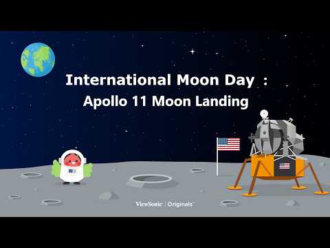
International Moon Day: Apollo 11 Moon Landing
OVERVIEW
This content allows students to utilize the Apollo 11 mission as a backdrop to explore the purpose of the first lunar landing and study lunar topography. Through NASA’s 3D model viewer, students examine the Moon and lunar module to design a future lunar base, applying their scientific knowledge while fostering exploration and creativity.
LEARNING OBJECTIVES
Students will be able to:
- identify the historical context and key personnel of the Apollo 11 lunar mission.
- describe the primary topographical features of the Moon’s surface.
- apply knowledge of lunar topography to select a site and design a functional lunar base.
ACTIVITIES AND INSTRUCTION
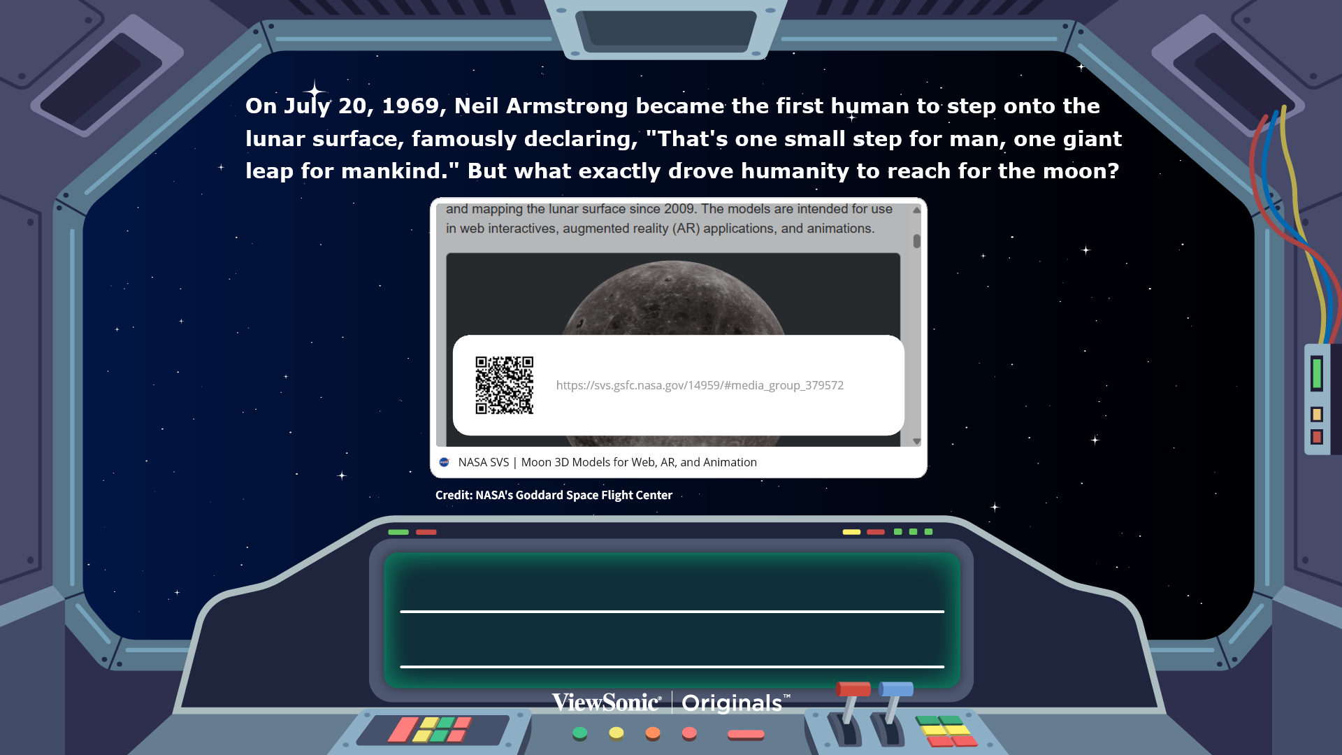
- The Mission of Apollo 11: Facilitate a classroom discussion where students evaluate the geopolitical and scientific goals of the first moon landing.
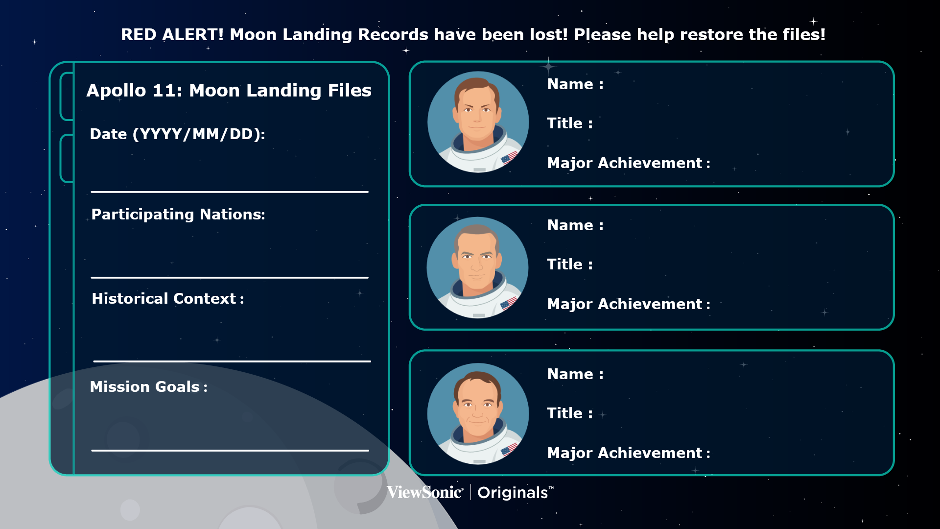
- Reconstructing the Archives: Task students as investigators to recover missing mission information. Use available records to reconstruct the key figures and events of the landing.
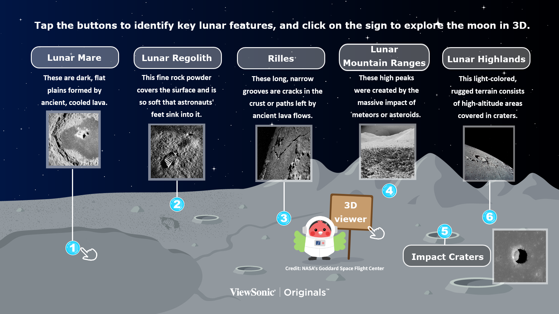
- Identifying Lunar Topography: Direct students to use the interactive buttons to reveal names and photographs of key lunar features. Use the 3D viewer from NASA to examine specific terrain features.
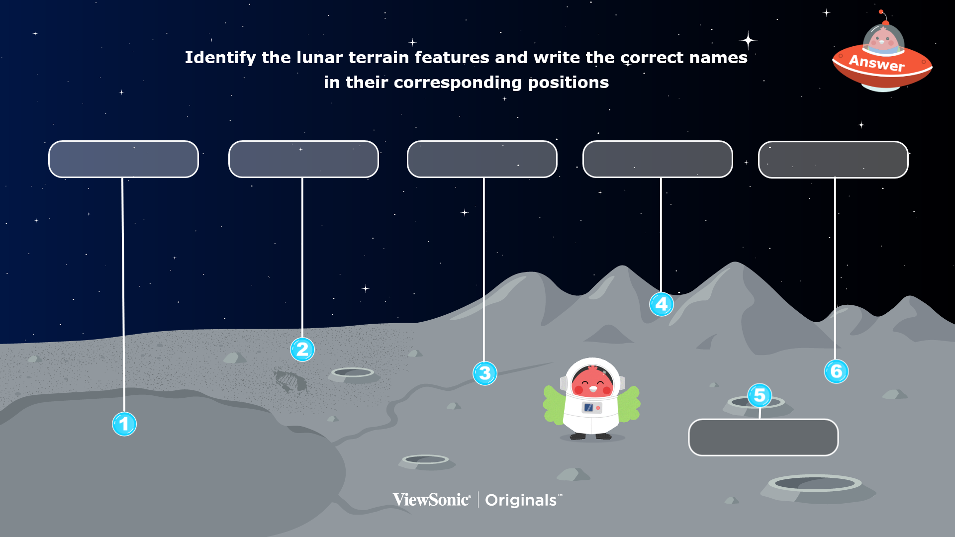
- Topographic Practice & Labeling: Students will identify various lunar terrain types and write the corresponding names in their correct positions on the picture.
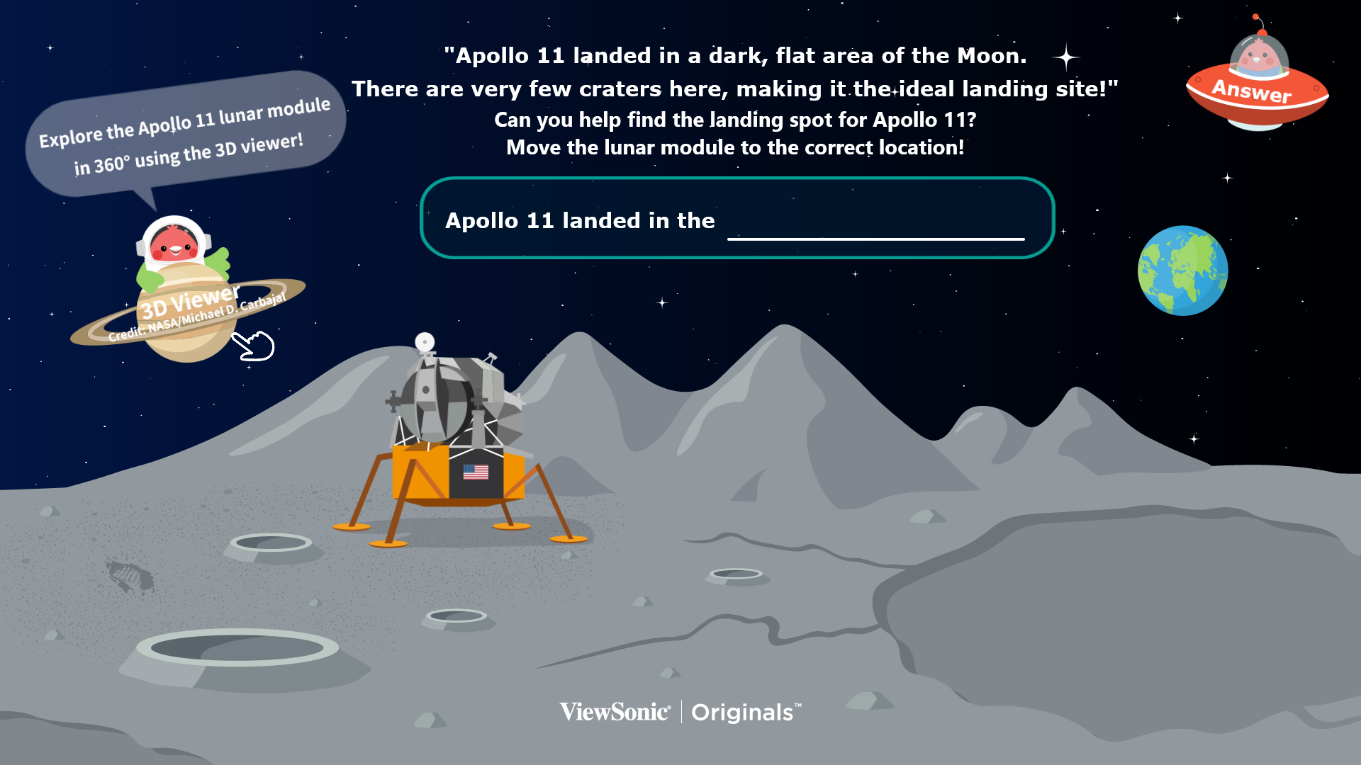
- Landing Site Selection: Evaluate descriptions to find the safest landing zone. Use the 3D viewer from NASA to inspect the Lunar Module and move it to the chosen site.
- Future Base Engineering: Select a topographic feature to host a future settlement. Create a unique base design and use the screenshot tool to capture your design.
- Creative Presentation: Students will present their designs to the class. Each presentation must include the name of the base, a justification for the chosen location based on topography, and a brief explanation of their vision for future life on the Moon.